![]()
Back in Stock!
Witness Bible history with the Codex Sinaiticus
Buy Now
![]()
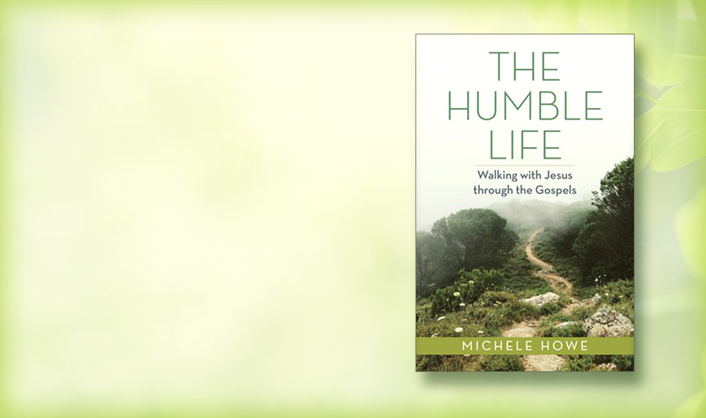
Discover how to develop the habit of humility
New from Michele Howe
Shop Now
![]()
Feasts of the Bible Resources
Learn more about the feasts and celebrations of the Bible.
Shop Now

Price May Vary by Retailer
Price May Vary by Retailer
Price May Vary by Retailer
Price May Vary by Retailer
Price May Vary by Retailer
Price May Vary by Retailer
Price May Vary by Retailer
Price May Vary by Retailer
Price May Vary by Retailer
Price May Vary by Retailer
Price May Vary by Retailer
Price May Vary by Retailer
Price May Vary by Retailer
Price May Vary by Retailer
Sign Up Today to Download 15 FREE Bible eCharts
Sign Up
Price May Vary by Retailer
Price May Vary by Retailer
Price May Vary by Retailer
Price May Vary by Retailer
Price May Vary by Retailer
Price May Vary by Retailer
Price May Vary by Retailer
Price May Vary by Retailer
Price May Vary by Retailer
Price May Vary by Retailer
Price May Vary by Retailer
Price May Vary by Retailer
Price May Vary by Retailer
Price May Vary by Retailer
Price May Vary by Retailer
Price May Vary by Retailer
Price May Vary by Retailer
Price May Vary by Retailer
Price May Vary by Retailer
Price May Vary by Retailer
Price May Vary by Retailer
Price May Vary by Retailer
Price May Vary by Retailer
Price May Vary by Retailer
Price May Vary by Retailer
Price May Vary by Retailer
Price May Vary by Retailer
Price May Vary by Retailer
Price May Vary by Retailer
Price May Vary by Retailer
Price May Vary by Retailer
Price May Vary by Retailer
Price May Vary by Retailer
Price May Vary by Retailer
Price May Vary by Retailer
Price May Vary by Retailer
Price May Vary by Retailer
Price May Vary by Retailer
Price May Vary by Retailer
Price May Vary by Retailer
Price May Vary by Retailer
Price May Vary by Retailer
Price May Vary by Retailer
Price May Vary by Retailer
Price May Vary by Retailer
Price May Vary by Retailer
Price May Vary by Retailer
Price May Vary by Retailer
Price May Vary by Retailer
Price May Vary by Retailer
Price May Vary by Retailer
Price May Vary by Retailer
Price May Vary by Retailer
Price May Vary by Retailer
Price May Vary by Retailer
Price May Vary by Retailer
Price May Vary by Retailer
Price May Vary by Retailer
 My Rewards Points (0)
You are now logged out.
Thank you for visiting HendricksonRose.com
There is some issue in processing your request, please try again later.